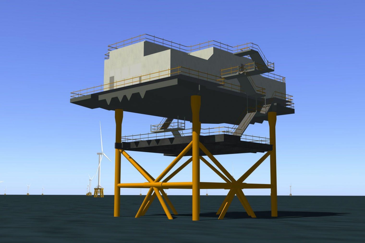
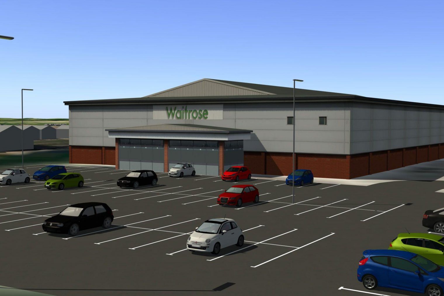
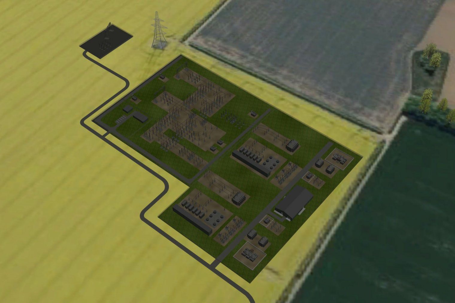
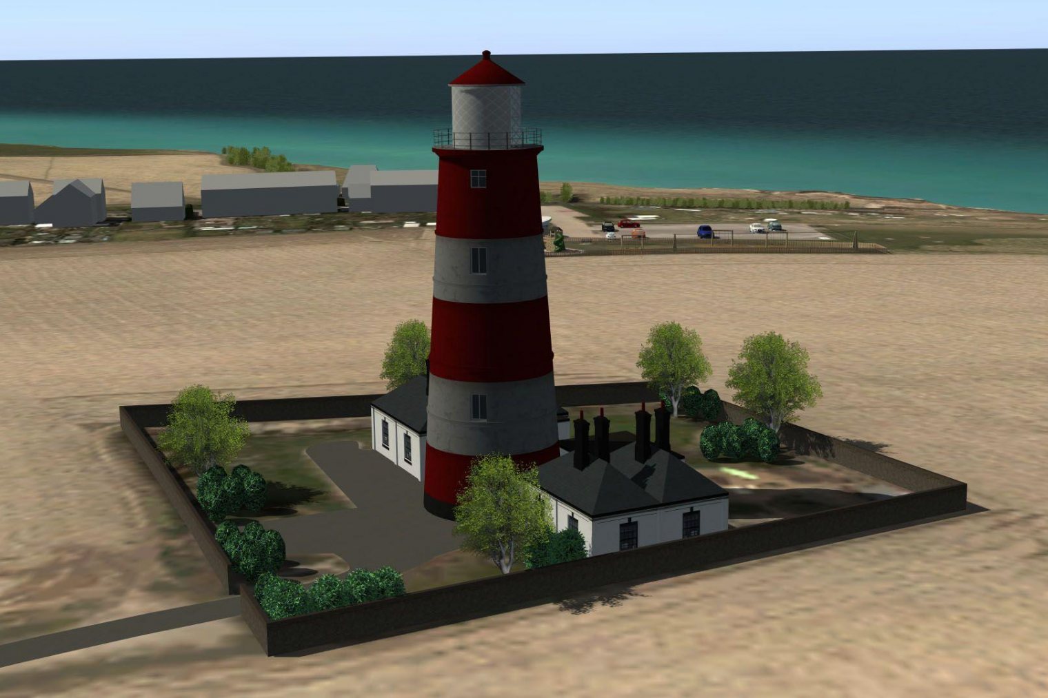
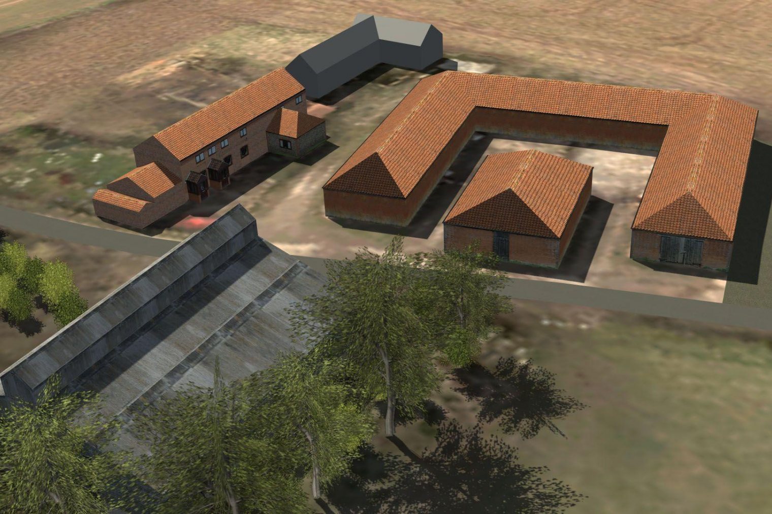
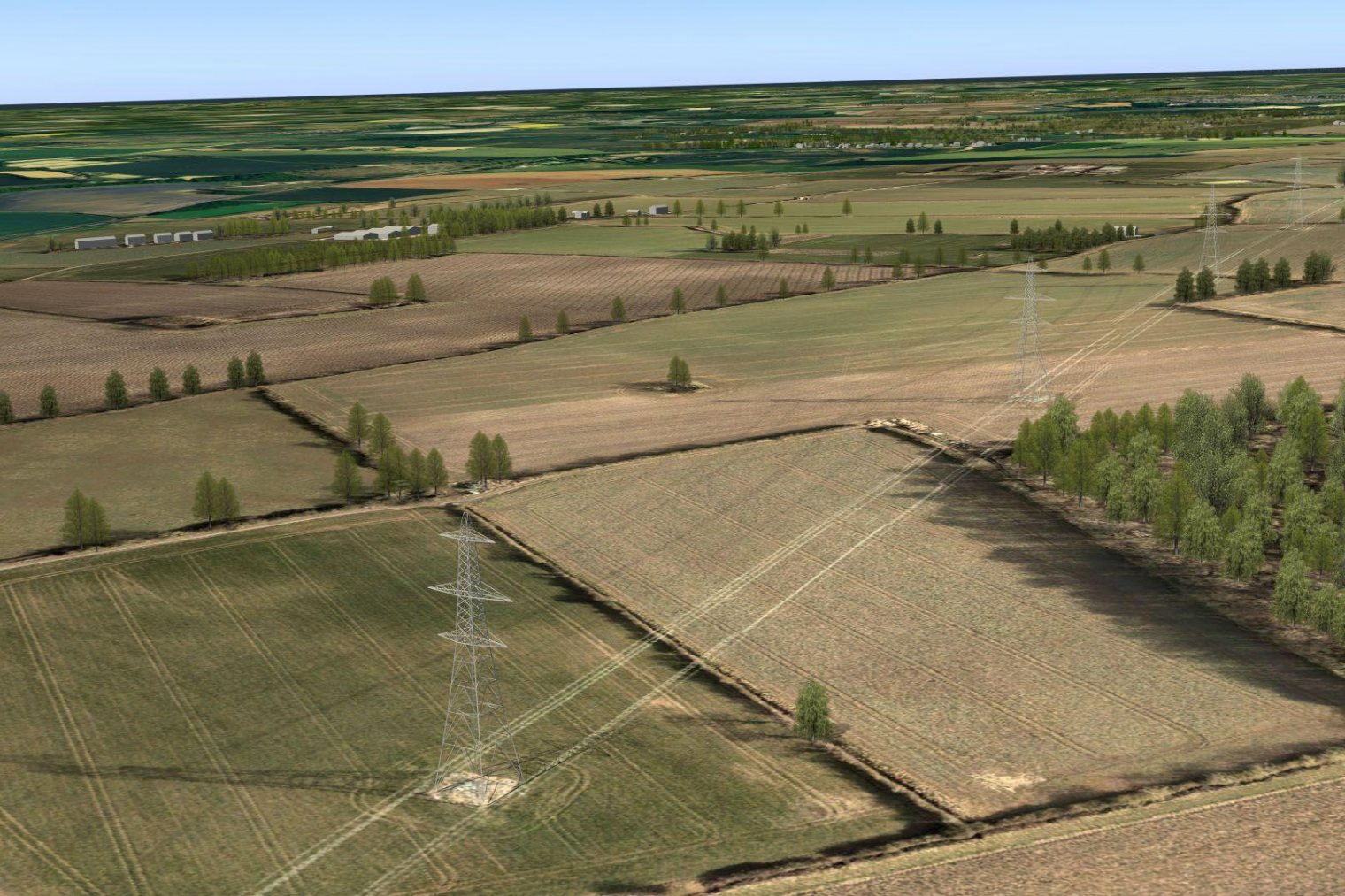
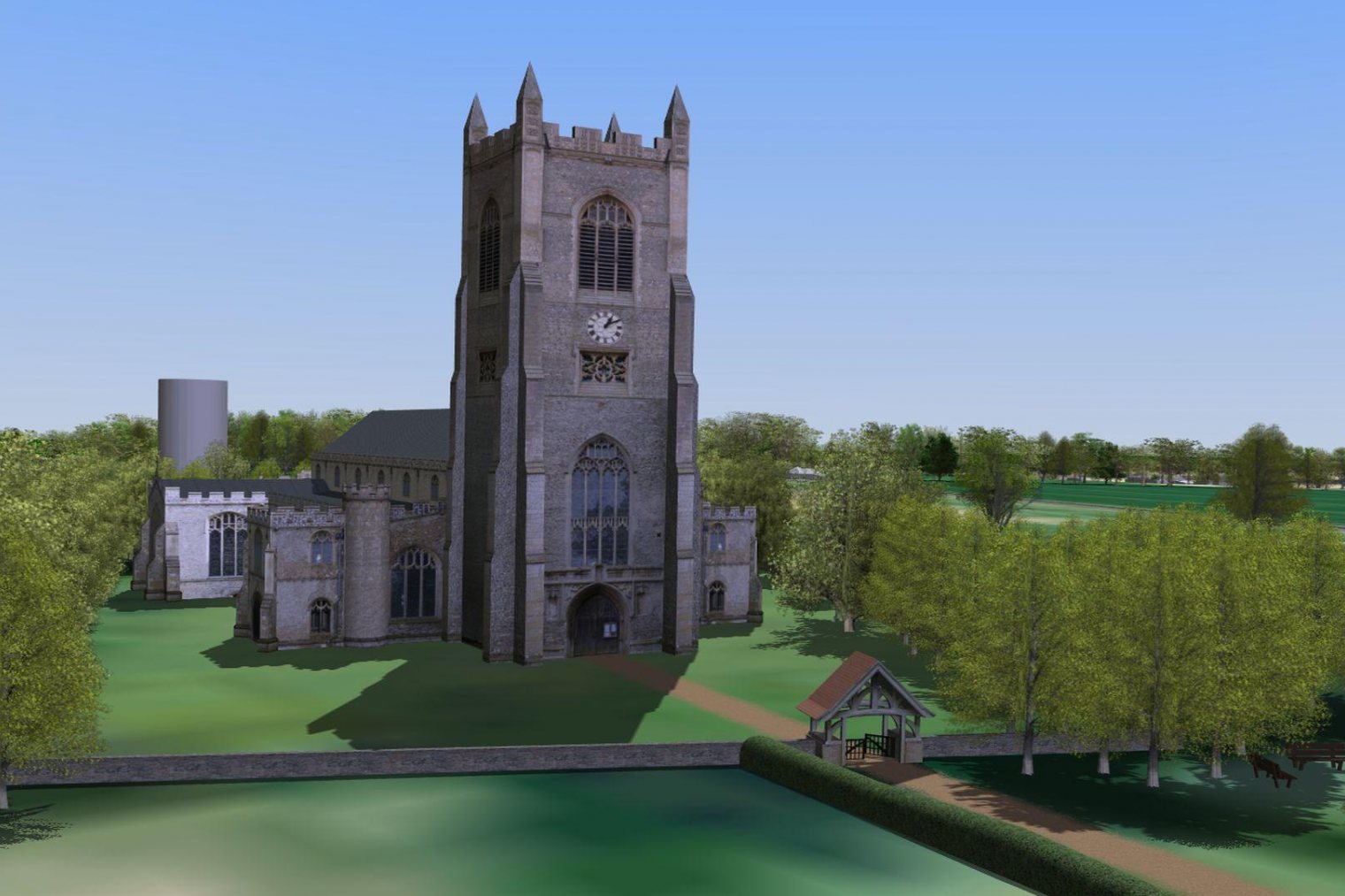
3DW produced a large scale interactive 3D model of the onshore environment allowing users to assess views of the proposed Vanguard and Boreas turbines from any point along the coast as well as being able to see proposed cable landing points and cable route options to potential onshore substation sites.
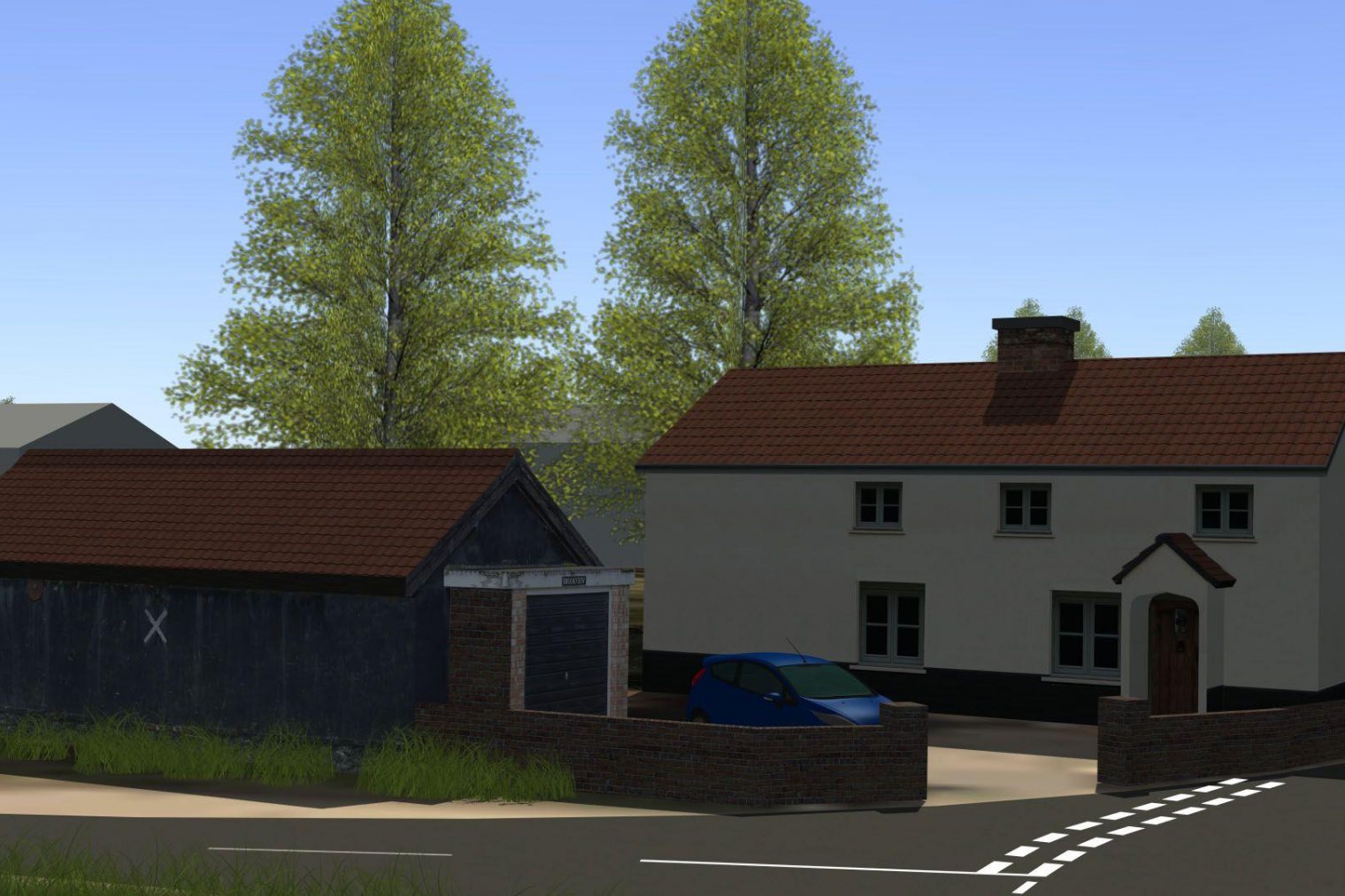
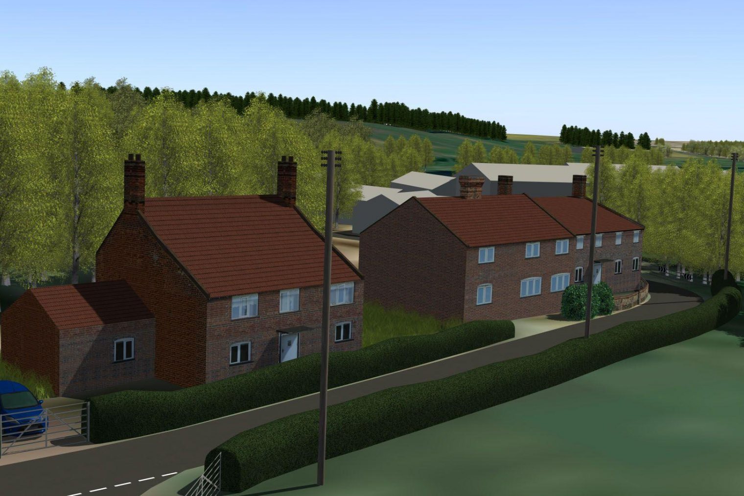
The 3D model included detailed 3D models of all buildings, roads and trees within 1km of the proposed cable route (approx. 40km in length) aswell as detailed photographic detail of key landmark locations along the route. This allowed stakeholders and the community to easily orientate themselves in the virtual world and to fully understand exactly what was being proposed by Vattenfall.
The 3D applications were used extensively at planning meetings, stakeholder events and public consultations. This approach helped to remove ambiguity and enabled effective communication of development proposals to all project stakeholders, ranging from politicians to local residents without needing to interpret technical plans, contour maps and other traditional presentation materials.
Finally, we produced a standalone video presentation from the 3D applications which was available for use on the project website and at presentation events as seen below.


